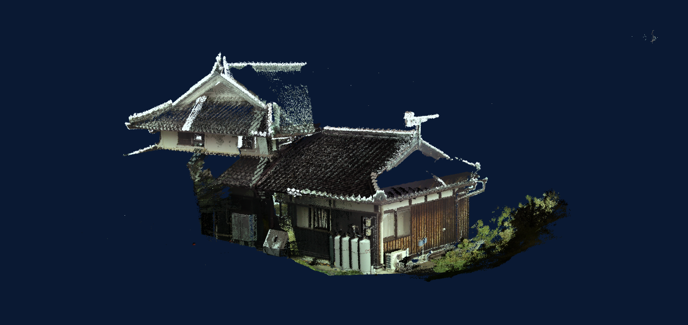
LA01(LiDAR)
This LiDAR equipment is ideal for point cloud management in the field and data acquisition on the ground.
The 200m distance measurement enables easy acquisition of point cloud data for business use. In addition to fixed-point installation, hand-held or vehicle-mounted measurement is also possible. (Change measurement)
Price(including tax)
yen
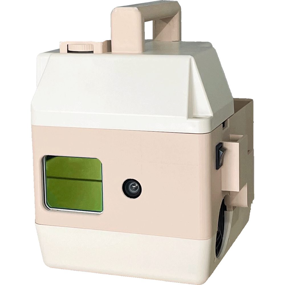
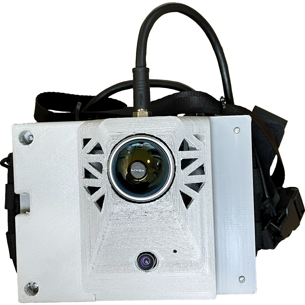
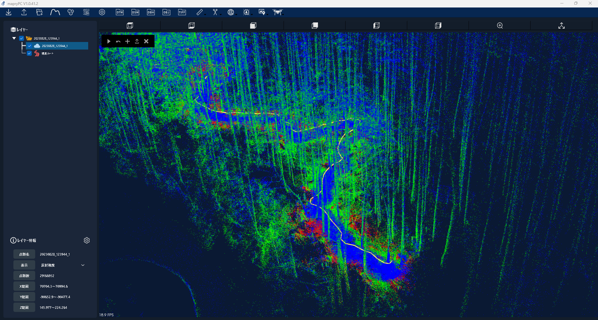
LA03(LiDAR)
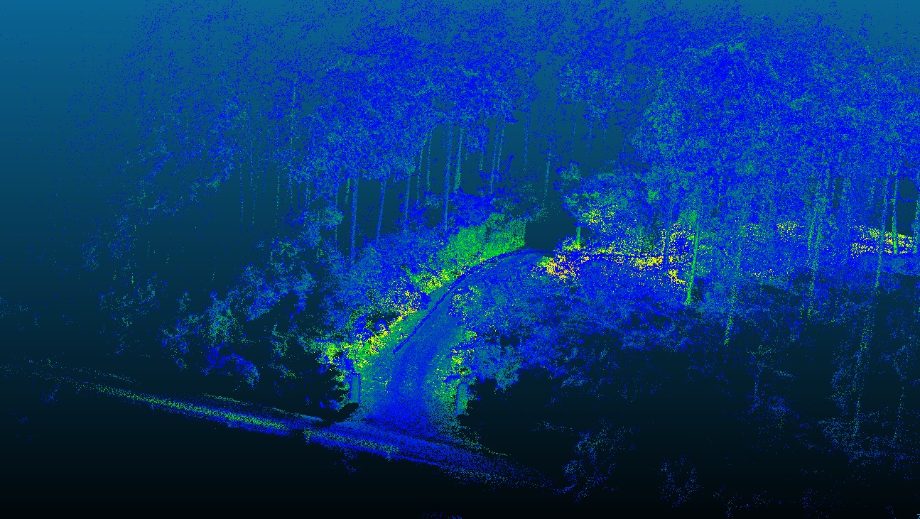
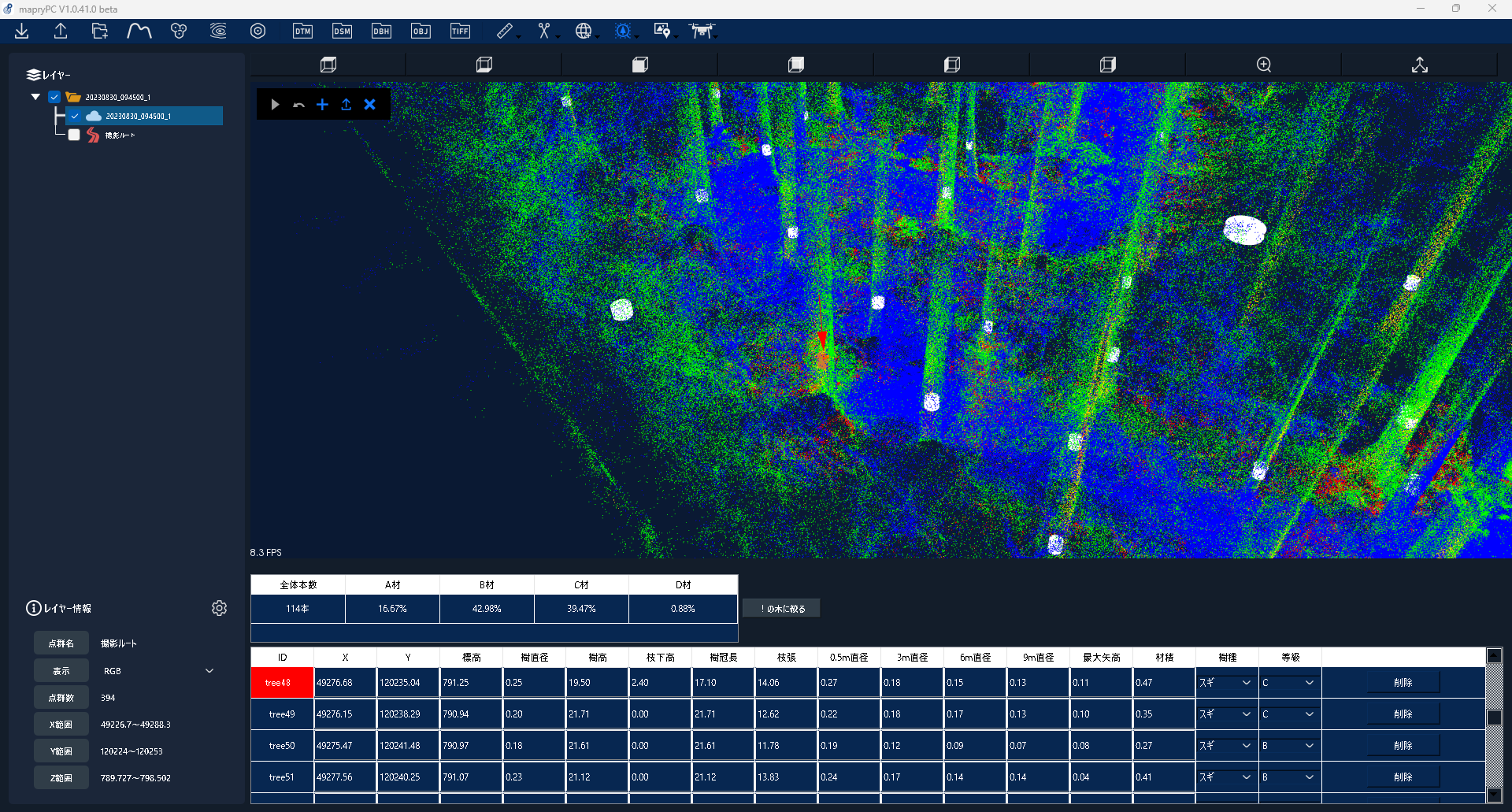
This backpack-type LiDAR measurement system allows users to acquire point cloud data simply by walking around with the system on their backs.
The amount of standing tree resources, topographical information, and forest-derived CO₂ absorption/carbon storage can be measured and analyzed simply by walking.
Price(including tax)
yen
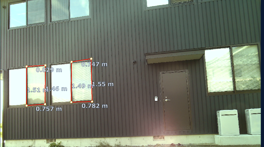
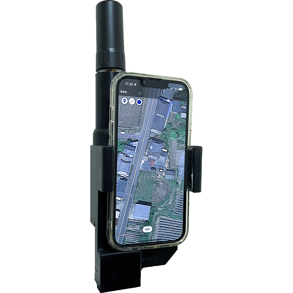
GNSS
More accurate location informationGNSS using network RTK.The iPhone/iPad now performs as well as conventional surveying instruments.It can also be used in combination with LA01.
・Use with App/IMU
・Local/Network Correction
・No troublesome setup required
Price(including tax)
yen
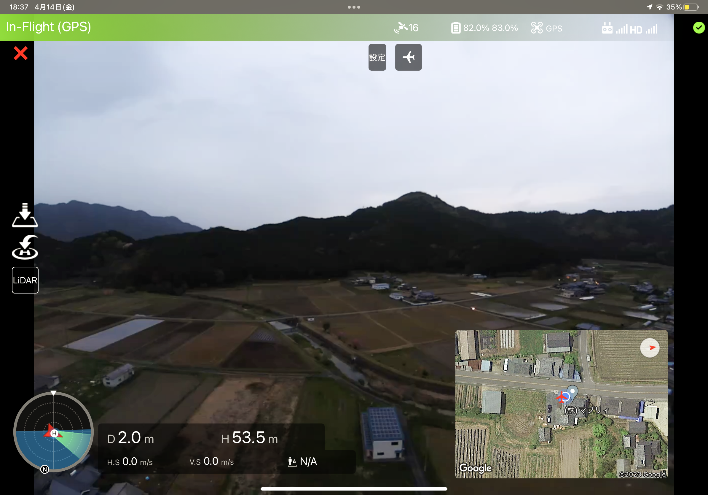
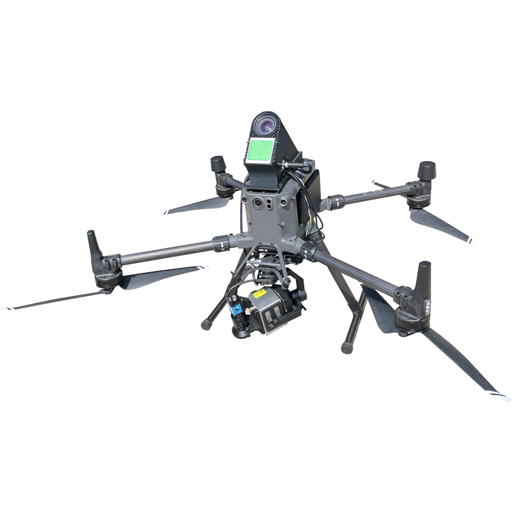
Drone
Linked with “mapry drone version”, LiDAR measurement is used to acquire point cloud data. Drones specialized for forest management can be used at low cost.
The app allows users to control the drone, fly it automatically, and share images and videos taken with others.
Price(including tax)
yen
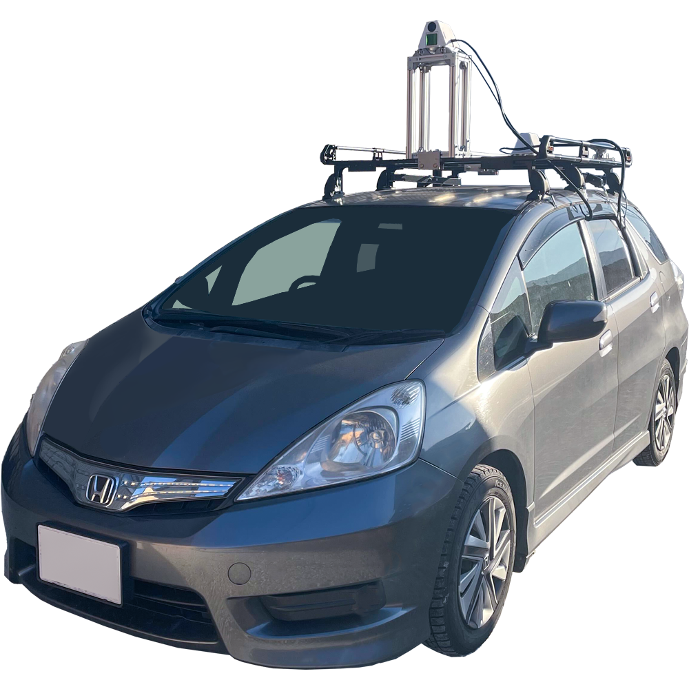
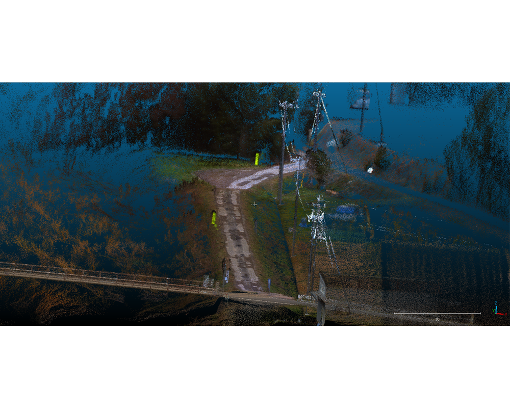
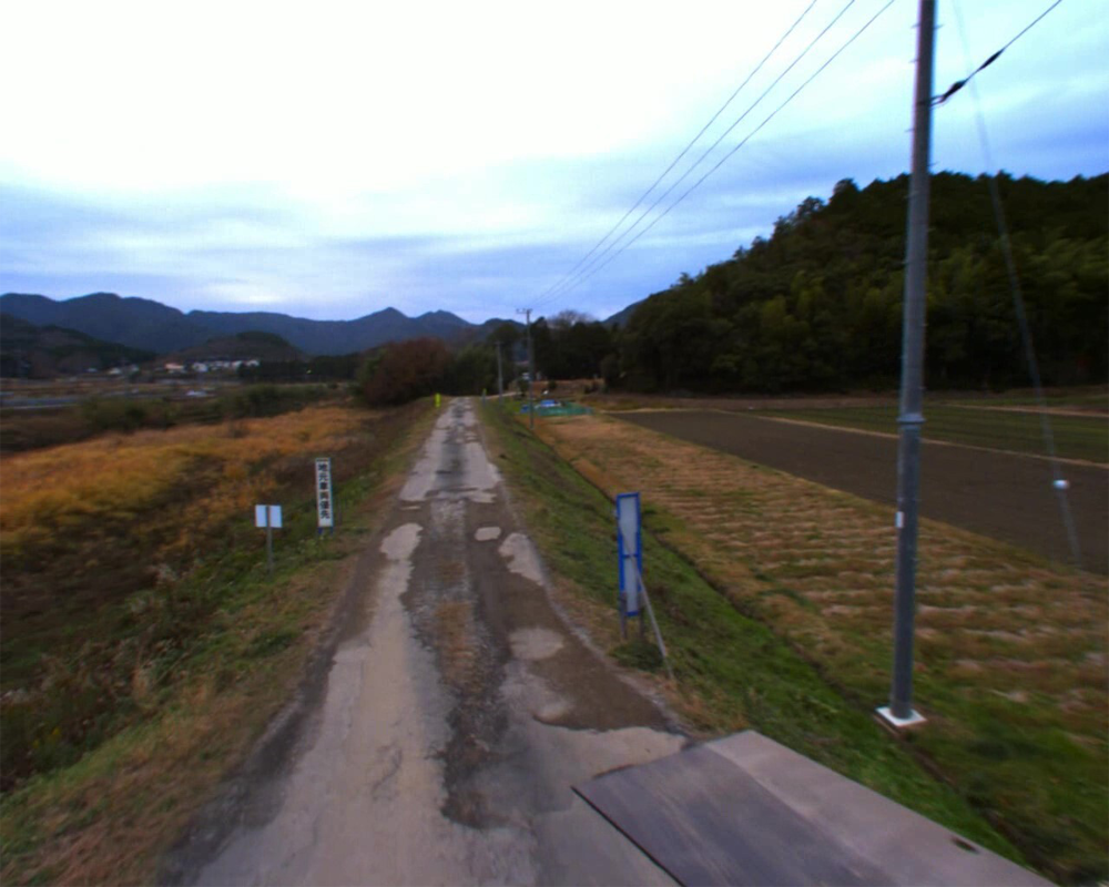
MMS
By installing various devices such as LiDAR on vehicles, etc., and acquiring three-dimensional data and images while driving on the road, it can be used for infrastructure management and other applications.
Price(including tax)
yen