
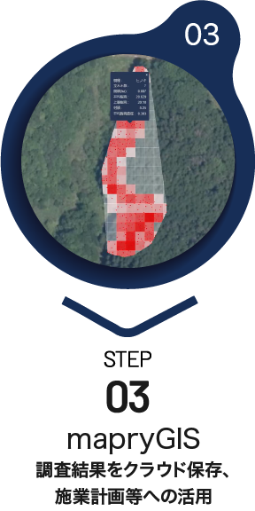
Can be used in resource volume surveys,
surveys at the time of mountain purchase, and validation of J-credits.
■As an alternative to traditional standard value surveys
■More extensive standard land survey (valleys, ridges, change points, etc.)
■Can be used as data for consensus building
-
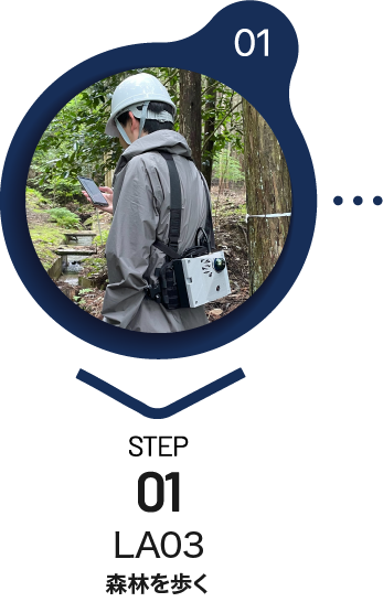
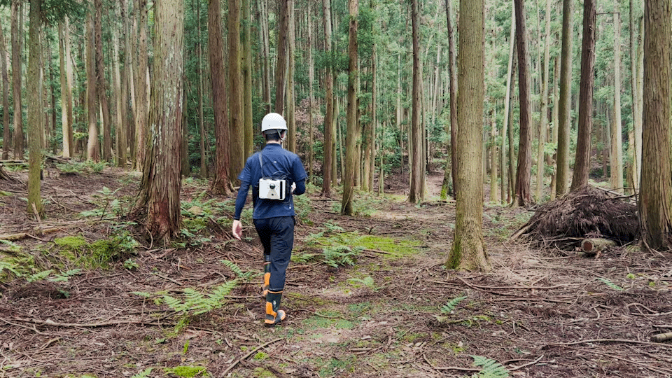
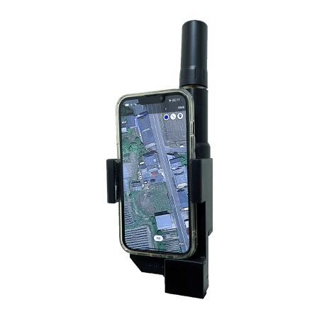
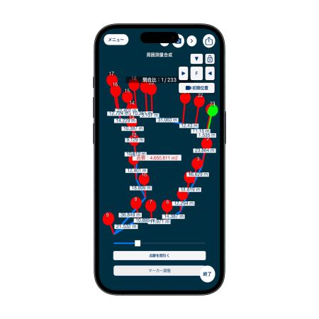
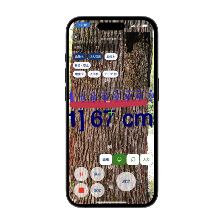
Feature 1:No technical knowledge is required to complete the measurement just by walking.
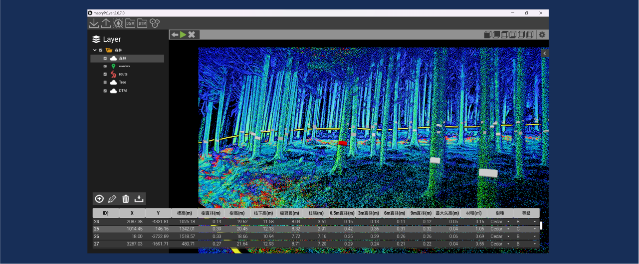
Data on diameter, height, location, lumber volume, and bends can be obtained by a single person walking alone, saving significant manpower and time.
※Criterion:Approximately 30 to 40 minutes per hectare -
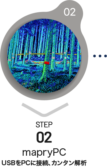
Feature 2:Data analysis & management with easy operation
Point Cloud Data Analysis & GIS included
-
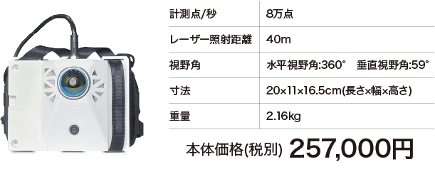
Feature 3:Unparalleled “low price”
Price (excluding tax)
257,000yen
Price of main unit including battery, case and USB
- ※The following equipment is required for operation. Separate maintenance options are available.
- ・Operation terminal 76,000yen ・R1(RTK receiver) 92,000yen
- ・Application Fees 10,000yen/month
- ・Ntrip service fee (please contract separately)
-
Feature 4:Light weight and both hands free
-
Other Features
- ①
Proven track record in forestry cooperatives, business entities, government agencies, and national forests nationwide
- ②
Easy operation for everyone
- ③
Walking while checking GIS data is possible
- ①
-
LA03Installation site
Forestry cooperatives and entities
Prefecture, Municipality
Acquisition of slopes and
other topographic features -
LA03 spec
Related Services
Application

Hardware
Platform
mapry Forestry
Forestry and forest management survey work made easy. The best tool for forest maintenance, from highly accurate data acquisition to field book creation.
mapry Electric power
Specializes in standard land surveys. In addition to forest management, it can be used to identify trees in parks and sites, and for supplemental work.