mapry
GIS
GIS
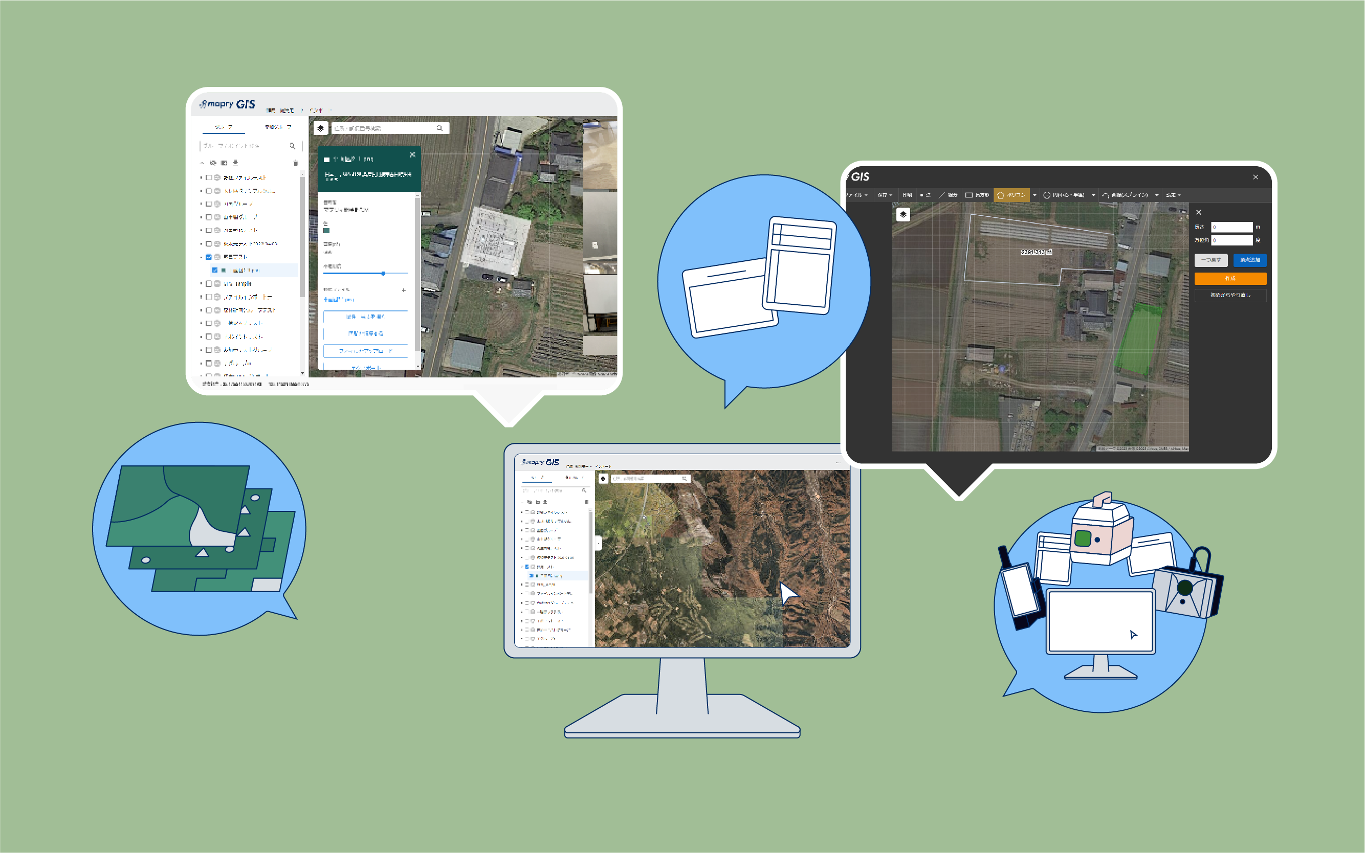
mapry GIS is linked in the cloud with applications such as “mapry forestry,” which allows users to easily acquire highly accurate data on their iPhones and iPads, ledger sheets, etc. and point cloud data can be easily viewed with a web browser.

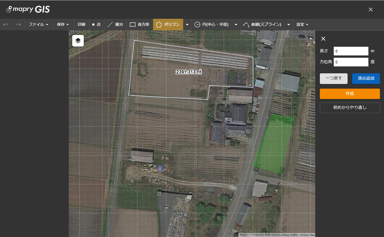
CAD Function
After drawing shapes and points on the map, you can output them as a shape file or print out the drawing screen.
Shapes can also be drawn by entering coordinates.

Preparation of survey field notebooks
Measurement data created by “mapry Forestry” or “mapry Surveying” can be uploaded to mapry GIS to create a survey field book.
The created ledger sheets, can be printed or used for application.
Price
Yearly (including tax)/
26,400
yen