PC Version (Point Cloud Analysis)
Download mapry PC Version
Windows
Windows
Download mapry PC Version Series 2
Windows
Windows
mapry PC Version Series 2 (Latest)
※Because the download file is large, you may see a warning—but please proceed with the download as is.
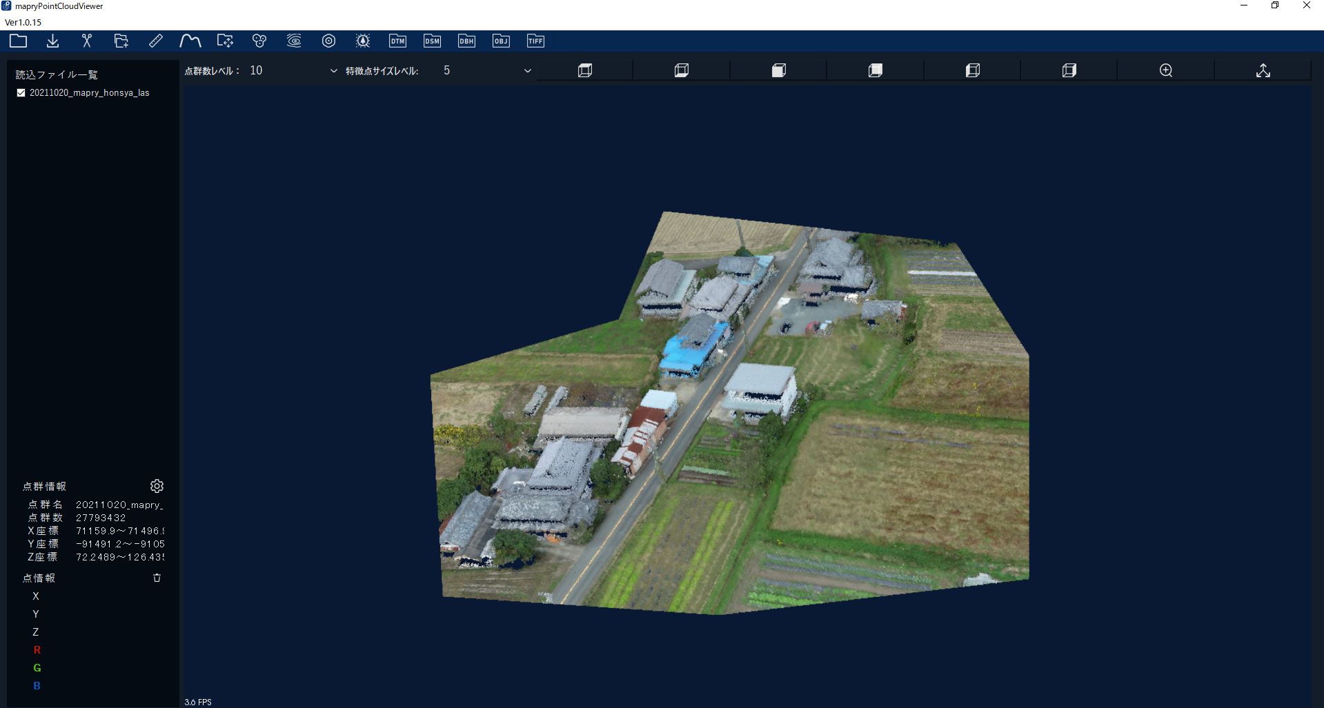
The official “mapry PC Version” is a desktop application that allows easy analysis on a PC of 3D point cloud data obtained and analyzed
with apps like “mapry Forestry” on iPhone/iPad or long-range LiDAR devices.
While the beta version provided terrain data generation features, the official version includes the following improvements and additions:
• Analysis of point clouds measured by long-range LiDAR (volume estimation, terrain, etc.)
• Analysis of point clouds measured by LiDAR drones (volume estimation, terrain, etc.)
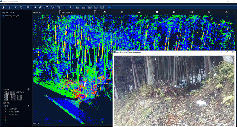
• Image integration acquisition and display
• Ortho-image creation
• UI adjustments, etc.
Point cloud & images
You can review data and images captured with the LA03.
Data measured with the fixed LA01 can be output as colored point clouds, and you can also measure line lengths.
There is also CAD functionality to export in DXF format.
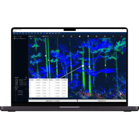
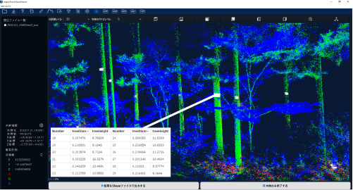
Volume estimation
You can measure diameter at breast height, tree height, and volume from point cloud data captured with the LA03.
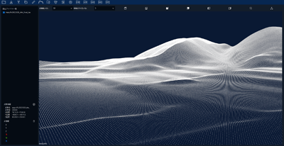
DTM, DSM
You can create DTM (digital terrain model) and DSM (digital surface model) from point clouds captured with LA03 or LiDAR drones.
LiDAR Drone
You can generate colored point clouds and ortho-images.